Reading time : 4 min
It can sometimes be frustrating to discover that the GPS localisation isn’t quite as accurate as hoped. This is because it is subject to several factors that have a direct impact on the information that you receive. Rest assured, you will always be able find your loved one; but the accuracy of the tracker will sometimes be less than perfect.
In this article we explain the main operating principles of your tracker and the factors affecting the accuracy of its geolocation.
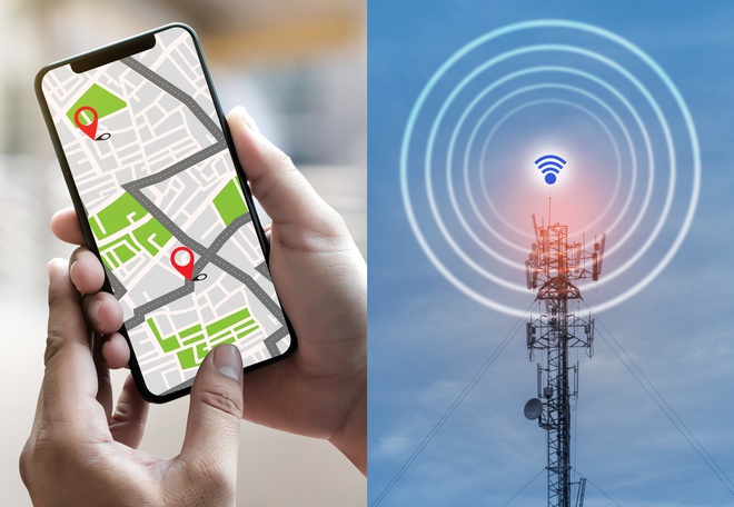
To begin with, it is important to note the difference between your tracker’s GPS signal (which depends on GPS satellites) and GSM connection (which depends on network coverage). These two aspects are essential but do not serve the same function.
A valid GPS signal is how your tracker can get its position from satellites in orbit in the atmosphere. It is equipped with a unit and a GPS antenna which allow it to receive GPS signal sent by the satellites. If the GPS signal is valid the tracker will be able to get the latitude and longitude of its current position. If the GPS signal is invalid it will be incapable of retrieving the GPS coordinates of its current position.
To be able to display this position in your application we must first receive it from the tracker. It will therefore connect to our server in order to communicate this information to us. This connection is made via the telephone network it connects to thanks to the device’s integrated SIM card. If your tracker is connected it is then capable of communicating its GPS location. If it is not connected it cannot transmit its position.
The mobile coverage around where you live has a direct impact on the functionality of your tracker. White spots (areas with no mobile coverage) or areas with poor mobile coverage will be particularly difficult for it. However, Weenect has the best mobile network possible (with the possibility of connecting to a multitude of networks, this helps reduce the effect of a partially white spot or a specific operator that wouldn’t work).
With no GPS signal there is no information to send; but without a connection to the server the information cannot be sent.
Several factors can affect your tracker's signal reception. Discover the key elements influencing the accuracy of your GPS tracker, from environmental obstacles to data transmission frequency.
A clear, open environment is vital for your tracker’s accuracy. This would be a zone without many obstacles for GPS signals. As for what could be categorised as an “obstacle” we can include buildings in densely populated cities (the signals would have a tendency to ricochet off the exteriors and as a result the precision could be reduced), trees in wooded areas, or even the weather (cloudy conditions make it more challenging to determine the tracker’s position) and the sun’s activity (solar flares can disrupt the GPS signals that penetrate the atmosphere).
The above confirms that the tracker is made for outdoor use. Indors the potential for inaccuracies is double: either the tracker will be unable to connect to GPS signal (like in a cave for example), or it connects to the GPS signal but the accuracy will be particularly poor (too many obstacles would interfere - your tracker might appear to be in the garden while it is actually sitting on the kitchen table).
If we could describe the ideal area for geolocation it would resemble the countryside as the path from the satellites to the tracker would be free from any obstacles.
The second important factor is the frequency that the tracker sends its position. If it sends its position every 30 seconds the accuracy will be better than if it sends it every 15 minutes. Why is this? Quite simply because it will have an easier time maintaining contact with the satellites if it is in regular communication with them. This explains why it sometimes takes longer to get a position when the tracker has been indoors or off for a long time (the tracker must re-establish contact with the satellites in order to receive GPS signal again).
You can set this interval in the locator’s settings from the mobile application or your online user space. But be careful, the more regular the frequency, the faster the battery will be used. It is therefore necessary to make the right choice according to your needs. A good compromise could be a frequency of one position every 5 minutes with the use of the super live mode when you need to find your loved one quickly (the superlive mode allows you to receive a position per second for 1 minute).
Phones and GPS trackers sometimes operate differently. Thus, there might be a difference in the processing of the signal received by your tracker and that received by your phone.
Sometimes your phone may be more accurate than the tracker. You can see this by standing next to it. The reason is simple: your phone does not only use GPS signals to position itself, it also uses wifi signals to adjust the communicated position. To check it, deactivate the wifi of your phone and you will see that your position will also be less accurate.
GPS devices for the road such as TomTom or Garmin can also look flawless, but only in appearance. They correct their positioning errors by relying on the route of the roads. Since your car is not supposed to leave the road, the GPS automatically puts your position back on the road when it comes off. This gives an impression of perfection, however this is not the case.
Despite these inherent limitations of GPS technology, we are continually working to offer you new developments that will allow you to refine the accuracy of your locators. Our engineers regularly add new algorithms to our solution in order to offer you the best for the safety of your nearest and dearest. Our goal is above all to offer you a tool that will always allow you to find your loved one, wherever they are.
To access the most relevant information, suitable payment methods, and delivery in your region, please select the website corresponding to your country.


